
Two Canoes: Cumberland House
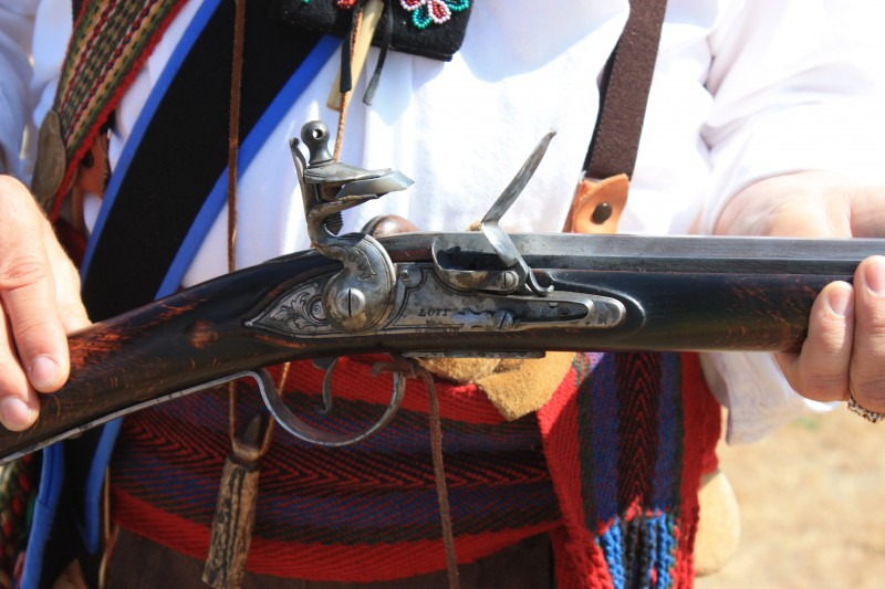
The Voyageur and his flintlock gun
We are now on our way to Cumberland House. Since my last post in this series, “we” had a short discussion on which of the Dease brothers met Governor George Simpson at Norway House: one of my followers actually went into the Hudson’s Bay Company archives and discovered the name of the man. It was John Warren Dease, and his story is here: https://nancymargueriteanderson.com/john-warren-dease/ I am delighted to have that confirmed and settled, as it could as easily have been his brother Peter. This information will be important to someone out there, sometime in the future, I think.
In my last post I halted the two canoe brigades — that of John Work in 1823, and of Governor George Simpson in 1828 — at Lac Traverse, or Cross Lake. All of this part of the Saskatchewan River is now buried behind a dam at the Grand Rapids, and the massive lake that now exists ceases a little east of the modern -day The Pas. If you want to see a map of the region, however, you can go to the book titled: Historical Atlas of Manitoba: A Selection of Fascimile Maps, Plans and Sketches from 1612 to 1969, by John Warkentin and Richard Ruggles (published by Manitoba Historical Society, 1970). It is filled with interesting Manitoba maps, and among them is a relatively modern map that happens to show the section of the Saskatchewan River before it was dammed. The map is on page 301, and its caption says:
136. Fred Nammacher’s Physiographic Diagram of Manitoba. 1960.
The best physiographic diagram of Manitoba in existence appeared in the Economic Atlas of Manitoba published in 1960 under the editorship of T.R. Weir. It is a basic reliable document for gaining information on the terrain of the province… The diagram was drawn over a period of many long weeks of painstaking compilation and plotting by Fred Nammacher, a University of Wisconsin-trained geographer and cartographer.
There is probably also a good map in the Hudson’s Bay Company archives, but I have not yet checked their catalogue. If anyone of you know of good and accurate maps of this section of the Saskatchewan River, comment below so that others can learn of the locations and identifications of these maps. Thank you.
Let us now go to the journals. First: John Work, Journal July 19 to October 25, 1823, A/B/W89.1A, BCA.
From Cross Lake: “August Friday 1. Cloudy. Moderate in the morning but blowing fresh afterwards. Embarked at 1/2 past 2 o’clock and reached half way across the Cedar Lake at noon when we were obliged to encamp as it was blowing fresh and a heavy swell on so that it was not safe to venture across the wide opening. Since we passed the Grand Rapid the country has a different appearance from what it had below Lake Winnipeg. A number of plants and shrubs are in the woods which were not to be seen before. The banks about the Cedar Lake are generally low and composed of limestone.
“August 1823. Saturday 2. Cloudy weather. Wind NW. Blowing fresh sometimes during the afterpart of the day. It having become moderate we Embarked at a quarter past two o’clock, and encamped at nine in the evening having made a long days work considering the strength of the current after we entered the Saskatchewan River. We proceeded part of day up the River through narrow channels formed by Islands where the water was very shallow and nearly choked up with mud. At the lower end of the River the shores and islands are very low composed of soft mud or clay and covered with reeds & flags [rushes?], and here and there some willows to the waters edge. A little farther up the river the banks continued still low and are entirely thickly clothed with willows, poplars, &c, they are sometimes so thick that it would appear difficult to get through them, some places there are a few poplar trees but not the appearance of a pine near the edge of the river. Considerable quantities of drift wood, some of it of a large size, in some places deposited along the shore. The banks on both sides of the river are very low and appear to have been overflowed in the spring. Where we encamped it was so soft & wet that a dry spot could scarcely be found to pitch a tent on.
“Sunday 3. Thunder and lightening with weighty rain in the night. Cloudy in the morning & clear afterwards. Wind Westerly. It was half past three o’clock when we embarked this morning, and proceeded up the River. The appearance of which is the same as yesterday, the banks low and closely covered to the waters edge with willows but poplar trees of a large size are more plentiful. In the afternoon we passed a place called the Pas, where the banks of the river are a little higher and some stones. Immediately above, the banks again become low. Elm is among the trees with which the banks are clothed.
“August 1823. Monday 4. Cloudy. Wind Westerly. Embarked at the usual time and continued our course up the River till the afternoon when we struck off through a small river to the N’ward, and proceeded a shorter way through small Lakes and creeks, which were in some places so thickly covered with high reeds and flags that it was with difficulty the canoes could be forced through them. The shores, where we could see them, still continued low and covered only with willows and poplars, with here and there a straggling pine tree of a small size. It was with difficulty we found a place to encamp at night. It was late when we stopped. We made a long days work.
“August 5. Cloudy. Wind Northerly with showers. Embarked early this morning, and arrived at Cumberland about 9 o’clock.”
In 1826 Aemilius Simpson also approached Cumberland House by a route through lakes and rivers. In 1828, McDonald (below) does not mention any special route. This is what Aemilius Simpson had to say of his approach to Cumberland House, in the incoming Columbia Express:
We continued our ascent of the Saskatchewan, when having come about 8 leagues in a winding direction to the SW we struck out of the main stream into a small channel which led us into a lake which we proceeded to cross in a Westerly direction for 5 miles which brought us to a chain of swampy channels leading in to the West by which track we cut off a great part of the distance to Cumberland House. Our days journey was much retarded by one of our boats constantly falling in the rear and the communication being now rather intricate, we did not wish to part company. We were therefore obliged to make frequent stops — she appears to be a heavy pulling boat…. [B.223/a/3, HBCA]
So here we go with Peace River: A Canoe Voyage from Hudson’s Bay to the Pacific in 1828, edited with notes by Malcolm McLeod and published in 1872. What does the journal-writer, Archibald McDonald, have to say about this section of the river?
“Wednesday 23rd [July]. Made a start about the usual time. Weather fine. Passed the Detroit by five. Breakfasted on a long Point of Cedars in Bourbon Lake at eight. Commenced the traverse without loss of time, and were fortunate enough to gain the shore in the next narrows before a thunderstorm with rain came on which obliged us to put ashore, unload, and go under cover for an hour and a half.”
A “Detroit,” I have just learned, is a strait or straits, and it is natural that a detroit would be on this old lake. Bourbon Lake is the old French name for Cedar Lake, and so I thought that perhaps the Detroit was the name for the old post on that lake. Not so. I learned the meaning of the word from Michel Bouchard, Robert Foxcurran, and Sebastien Malette’s new book, Songs Upon the Rivers: The Buried History of the French Speaking Canadiens and Metis from the Great Lakes and the Mississippi across to the Pacific [Montreal: Baraka Books, 2016].
“Clearing up towards three o’clock, we resumed the journey; crossed the lower Muddy Lake [Lac Vaseaux], and encamped on L’Isle de Festins [Island of Feasts]. Doctor [Richard] Hamlyn, who complained a little yesterday evening, had been very unwell the whole of this day, proceeding from a bowel complaint [food poisoning?]. Left our frying pan in last night’s encampment.
“Thursday 24th. A couple of hours after leaving the encampment, we discovered ourselves out of the proper channel, and with the view of gaining it, penetrated more than a mile across, through reeds and long grass, until we reached the Upper Muddy Lake, over which we had to drag the canoes a considerable distance before we got into the regular lead of the water. My canoe was a little crushed, over a stump in this lake, and had to be gummed, at the breakfast hour on L’Ile d’Epinette [Pine Island]. Encamped early at the upper end of L’Ile d’Epinette [Pine Island Encampment], where we had some difficulty to unload.
“Friday, 25th. The last, is the only dry night we have had since leaving Norway House, yet it does not appear to presage settled weather. The whole of this forenoon has been nothing but showers and peals of thunder. Stopped on shore at the Passe [The Pas] for a moment when we got a few “gold eyes” [a herring-like fish, about a foot long] and some pieces of dried meat from Constant [a freeman]… Put up about two leagues below the Barriere, on a small patch of dry ground, which is rather a rare comfort in this part of the country. Shot three or four pigeons and as many ducks.
“Saturday, 20th. Got under weigh by two o’clock. Came about six or seven leagues and breakfasted, which is about the same distance to Cumberland House. Blowing fresh on the Lake, and shipped water before we gained the shore, which we did at half-past two. Remained here, drying baggage, for the rest of the day.”
Both sets of canoes are now at Cumberland House, which is on Cumberland Lake just north of the Saskatchewan River itself. Neither of these expeditions will return to the Saskatchewan, but will proceed north and west by the old North West Company route. The first river they will encounter will be the Sturgeon-Weir River to Amisk Lake. From there it was a short hop to the Churchill River and the Methye Portage [Portage La Loche] into the Athabasca watershed. It will be an adventure!
To go back to the beginning of this series: https://nancymargueriteanderson.com/two-canoes-one/
When the next post in this series is written, it will appear here: https://nancymargueriteanderson.com/two-canoes-five/
Copyright, Nancy Marguerite Anderson, 2016. All rights reserved.